A Tapestry of Life: Unveiling the Painkalac Valley’s Diverse Flora
The Painkalac Valley boasts over 15 distinct vegetation communities, with a staggering 185 indigenous plant species adapted to this unique environment where freshwater and saltwater meet. Here are some examples:
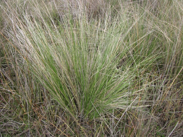
Common Tussock-grass (Poa labillardieri)
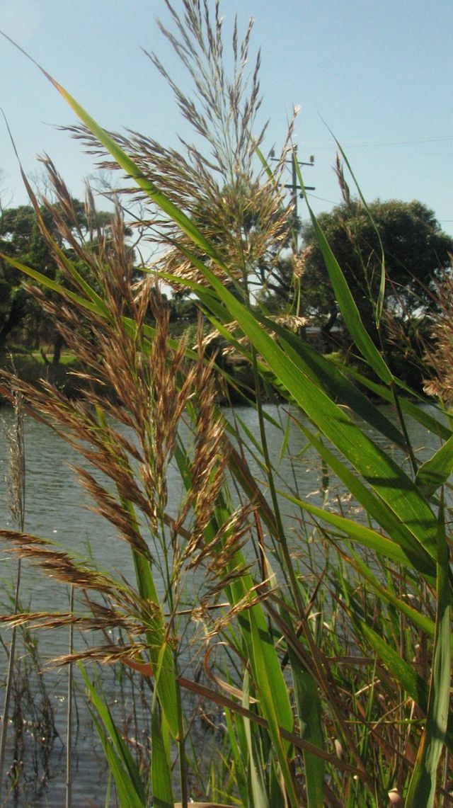
Common Reed (Phragmitis australis)
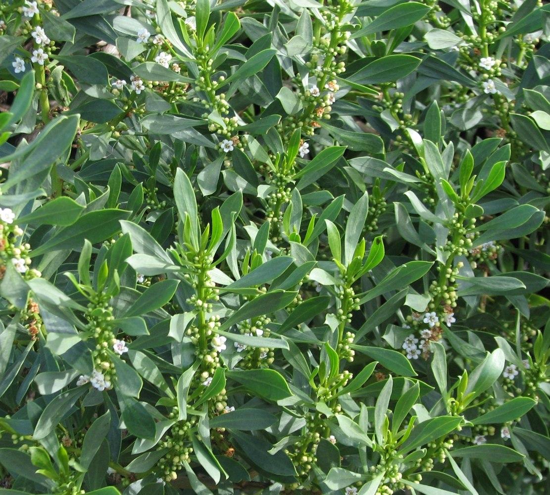
Common Boobialla (Myoporum insulare)
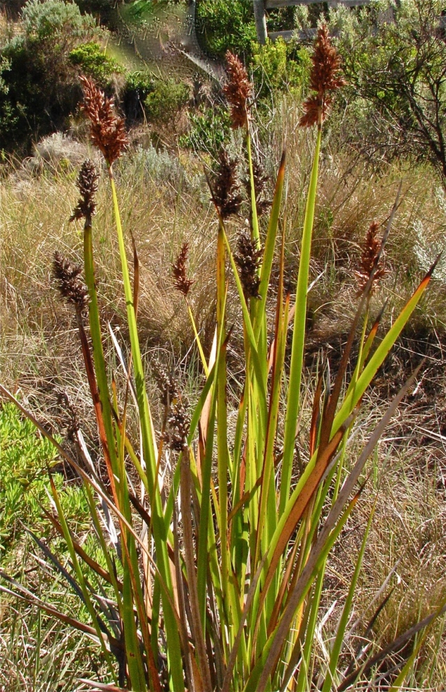
Coast Sword-sedge (Lepidosperma gladiatum)
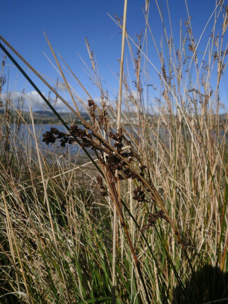
Sea Rush (Juncus kraussii)
In the creek after the estuary has been closed for prolonged periods, seagrass beds can become extensive and provide nursery areas for juvenile fish and habitat for invertebrates:
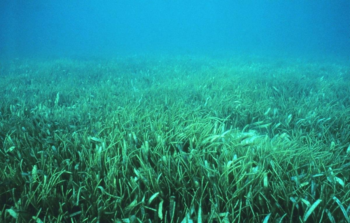
Seagrass meadow (NOAA Photo Library)
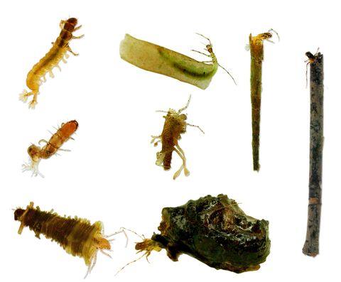
Water bugs (invertebrates)
Continue down this path over the footbridge and cross the Great Ocean Road to get to the next sign with a QR code (number 3 on the map).
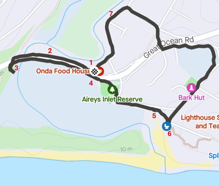
Map of nature walk with interpretive signs marked by numbers
A separate walk through the Painkalac Nature Reserve can be started from the car park on the north side of the Great Ocean Road, just past the bridge.