The Get to Know Our Tracks Walk on 26 July 2014, comprised a circuit from the Painkalac Bridge in Fairhaven through the Great Otway National Park to Moggs Creek, returning along the beach past the Life Saving Club, to the starting point.
The route followed the Painkalac estuary for a short distance, then passed through a residential area with remnant red ironbark forest, before turning uphill past the Aireys Inlet Water Treatment Plant and into the Great Otway National Park.
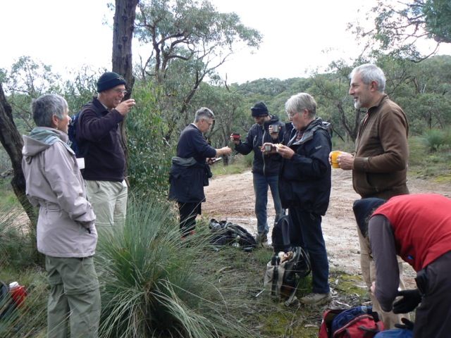
There the vegetation consisted of stringybark woodland and coastal heathland. The mid section of the walk revealed tree-framed glimpses of the Split Point Lighthouse. From the Moggs Creek Ridge, there were spectacular views along the coast to Eastern View, Lorne and the Otway Ranges in the distance.
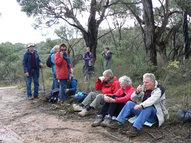
Morning tea beside the track
Sweet Wattle is the first Acacia to flower each year and its pale lemon blossom added colour and fragrance to the bush. Other species including Running Postman, Erect Guinea-flower and Paper Flower were also beginning to show their spring colours. There were many patches of Nodding Greenhoods, and occasional Mosquito Orchids and Tall Greenhoods, also in flower, beside the track.
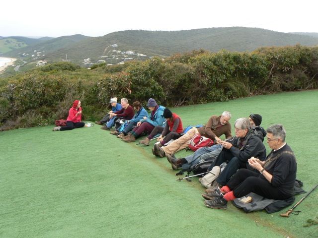
Lunch at the hang-glider launching site, Moggs Creek
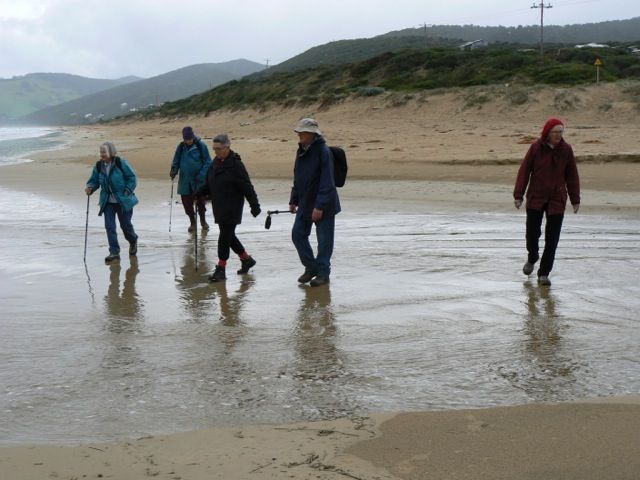
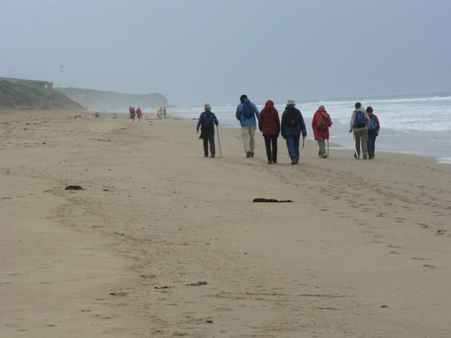
Heading back towards the Split Point lighthouse at Aireys Inlet
Ros Gibson