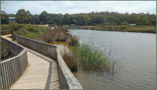
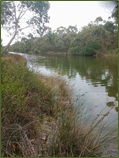
The Anglesea River (known as Kuarka Dorla to the Wadawurrung, and Swampy Creek to early settlers) has always been important to local people who appreciated its cultural, economic, social and environmental values. In particular, the riparian vegetation is of high quality.

Early Angair members surveyed its flora and fauna and made a considerable contribution to its rehabilitation after the 1983 Ash Wednesday fire left burning peat. Mary White’s recommendations were largely accepted by the Shire of Barrabool.
More recently, the environmental values of the river have deteriorated and the estuary has remained closed for longer periods of time.

Angair has been an active member of the Anglesea River Working Group (ARWG) since its inception about eight years ago. The Corangamite Catchment Management Authority recently commissioned GHD consultants to carry out a Flows Study to determine what flows would be required to restore the ecological health of the river. The draft findings of this report were considered by the ARWG. The preliminary findings are outlined below.
The impact of climate change on flows in the river forms an important consideration in the report. Readers might be interested in the recently released Victorian Water and Climate Initiative findings which can be found at https://www.water.vic.gov.au/climate-change/research/vicwaci/new-findings. The outcomes of the Long-Term Water Resources Assessment (LTWRA) can also be found on the Department of Environment Land Water and Planning website.
The preliminary findings of the Flows Study include the following:
- Climate Change: protection of urban infrastructure and the development of Coogoorah Park after the Ash Wednesday bushfire have all contributed to decreased natural flow in the Anglesea River. Flow deficits were masked for some time as Alcoa had been discharging good quality water into the river since the 1960s. Recent flows have been quite acid due to drying of the perched swamps in the catchment during the Millennium Drought and construction of Coogoorah Park after Ash Wednesday.
- A considerable amount of water would be required to restore natural flows and increase frequency of estuary openings. It is not clear where this water could come from as there is little water storage in the upper catchment.
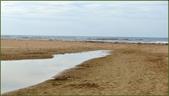
- In respect of the biophysical values of the estuary, the report notes that these are changing. The berm at the mouth has migrated more than 200 m inland and the berm height has increased significantly, resulting in near permanent closure of the estuary. Seagrass communities are decreasing and are being replaced by freshwater macrophytes. The estuary is much more acid as the only natural flow is from acidic flows from both Salt Creek and the Anglesea River.
- Artificial openings (shallow or deep) will not make any permanent change to water quality and quantity. Increased flows could reverse this trend but, as above, there is no obvious source of the amount of water required.
The results of this study will be taken into account in making decisions about the future of water resources management in the catchment. Important issues include the use of the Lower Eastern View aquifer for our emergency water supply, the mechanism to partly fill the mine void at Alcoa, frequency of estuary openings and future planning for a resilient town as our climate changes and sea level rises.

Barwon Water is continually monitoring the water levels in the Perched Water Table, the Upper Eastern View aquifer and the Lower Eastern View aquifer and also terrestrial and ecological values. The results of this monitoring can be found on the Barwon Water website at https://www.yoursay.barwonwater.vic.gov.au/anglesea-borefield. It is updated regularly.
Christine Forster AM.