Unveiling a Hidden Gem: The Painkalac Valley and Estuary
Nestled between Aireys Inlet and Fairhaven lies a hidden gem – the Painkalac Valley and estuary. Here, where freshwater meets the ocean, a thriving ecosystem unfolds. This unique “salt-wedge community” is a haven for a diverse mix of native plants, animals, and microorganisms. Recently recognized for its vital role in local biodiversity and healthy waterways, the area is now protected under the federal Environment Protection and Biodiversity Conservation Act.
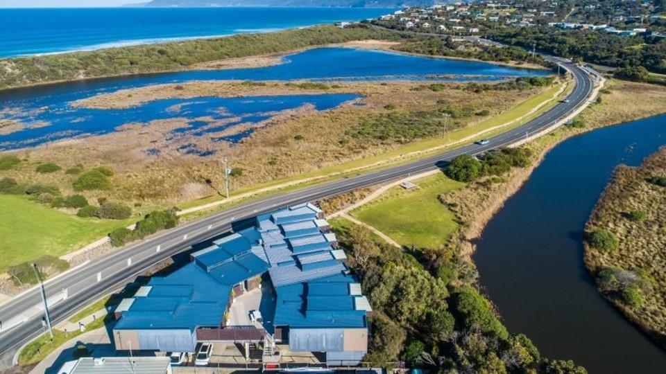
Painkalac Estuary and bottom shops
Explore the Wonders of the Estuary:
Embark on a journey of discovery with the Painkalac Nature Walk. This self-guided trail (2.5 km, 45 minute circuit), curated by the Painkalac Valley Network, takes you on a fascinating exploration of the lower valley. Coming soon, with the aid of QR codes on signs around the walk providing information to add to your enjoyment, discover the diverse plants, fascinating creatures, and rich geological and human history of this area. Learn about the estuary’s seasonal cycle and the threats it faces.
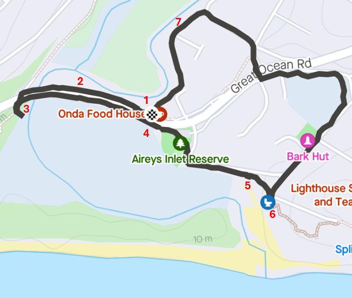
Map of nature walk with interpretive signs (proper map under development)
Walk for the Future:
Whether you choose a short stroll or the complete loop, each step is a step towards understanding the importance of this thriving ecosystem. Join us in protecting this interconnected community for generations to come.
If you start the walk in front of Onda Food House, you can head west towards the bridge over the Great Ocean Road until you come to the next sign with a QR code on a post on the right hand side of the path (number 2 on the map).
Click on any of the links (below on your phone or in the top right on your computer) to see what you can discover on this nature walk.
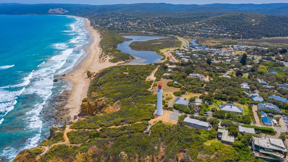
Painkalac Valley and Lighthouse