VIDEOS
Painkalac Estuary Openings
Open estuary (November 24 2013 – from Eco-Logic & Splitpoint Lighthouse Tours https://www.facebook.com/watch/?v=544276082329729):
Eels in the Painkalac Creek May 4 2011
This clip shows a swarm of short-finned eels congregating at the mouth of the Painkalac Creek before the artificial estuary opening conducted by Surf Coast Shire, ready to start their journey to the Coral Sea near New Caledonia where they spawn. (from Surf Coast Shire https://www.facebook.com/watch/?v=465869984472287)
Painkalac Creek’s Short-finned eels are born and die 3,000 from here. It’s an epic life story. Spawned deep in the Coral Sea, eel larvae turn into tiny, transparent glass eels as they ride currents south and into Bass Strait. By sensing traces of fresh water out at sea, the glassies find their way ashore and into rivers. As they mature in estuaries, the eels lose their transparency and become stronger and darker. Now known as elvers, they head further upstream, wriggling up roadside drains, across flooded lawns and paddocks and even over roads in their search for a good freshwater pool. and up to a metre long. Having travelled thousands of kilometres, the eels can spend 20 years or more in creeks, swamps or dams, hunting frogs, crustaceans, insects and fish by night. Fully grown eels are thick and strong, dark olive in colour Eventually an urge to breed drives them back downstream and out to sea. Their bodies are heavy with stored fat, and silvery in colour. They arrive exhausted and depleted, having swum thousands of kilometres back to the Coral Sea without eating. The eels die after spawning, but the amazing life cycle begins again.
Artificial opening of Painkalac Estuary 2011
Geoff Brown
Video by Go While You Can shows the Painkalac Estuary and Valley, Eagle Rock Marine Sanctuary and the rugged coastline around Aireys Inlet.
Rewilding the valley
Lot 2 in the Painkalac Valley has been purchased by Mick Loughnan and Jacinta Halloran, and its wetland and indigenous vegetation are being restored. This wonderful project has the support of AIDA, Angair and CCMA. Watch the two videos below to learn about this important project.
Protecting Paradise – The Wild Otways Initiative
Conserving threatened small mammals in the Otways Ranges, Bells Beach (Ironbark Basin) and Great Ocean Road hinterland
EstuaryWatch
EstuaryWatch on the Painkalac by students from the Photography Studies College in Melbourne
Watch video
(Please note that the Acknowledgement of Country at the start of this video is incorrect in that the Traditional Custodians of the Painkalac Valley are the Gadabanud People and the Waddawurrung People)
Southern Brown Bandicoot
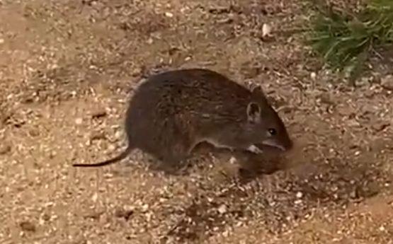
Watch this video of a Southern Brown Bandicoot foraging
Early in May 2024, Mark Garkaklis and Barbara Wilson videoed this Southern Brown Bandicoot foraging on the Aireys Inlet Coastal Walk in the late afternoon. Mark says this is crepuscular activity – foraging at twilight at certain times of the year. They eat native truffles, tubers and insects. There were so many new diggings after the April rains we assumed that they were after truffles. Our native truffles are small compared to European gourmet truffles but clearly much appreciated by bandicoots.
PHOTOS
The Painkalac Creek in flood 2007
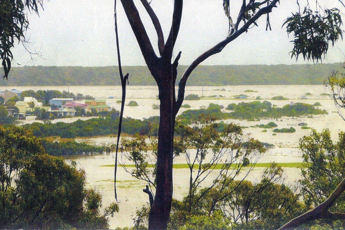 (Photo taken by Roger Ganly from Pearse Road, Aireys Inlet)
Modern day photos
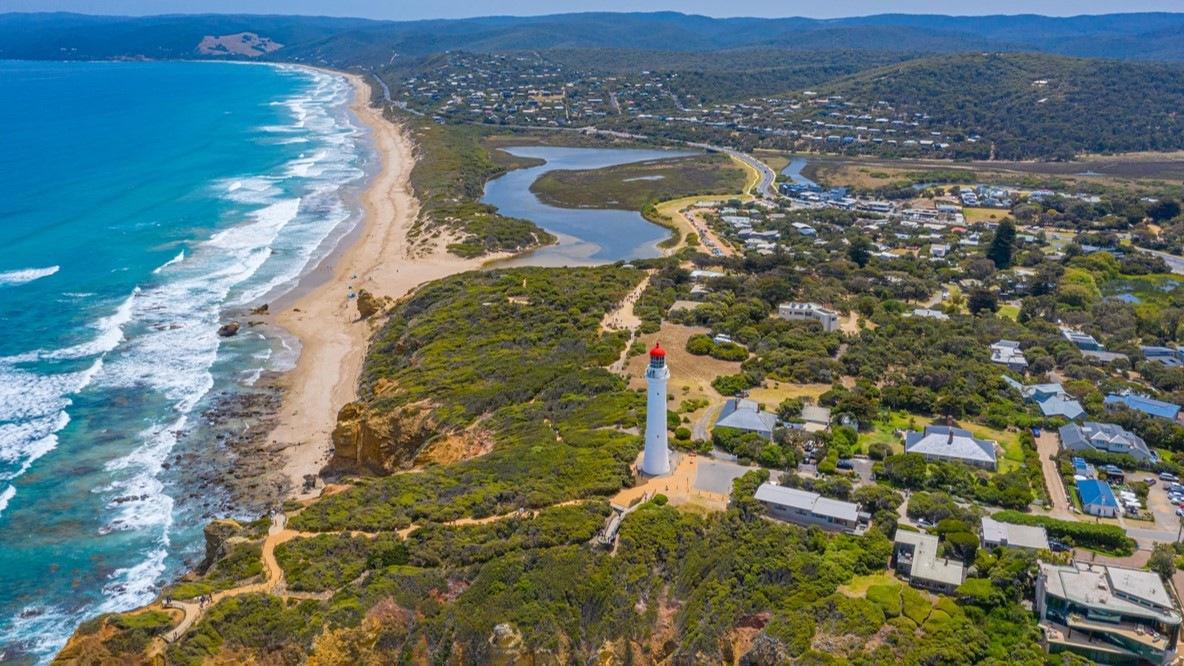
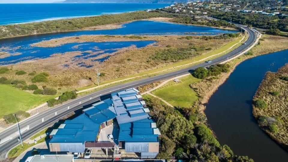
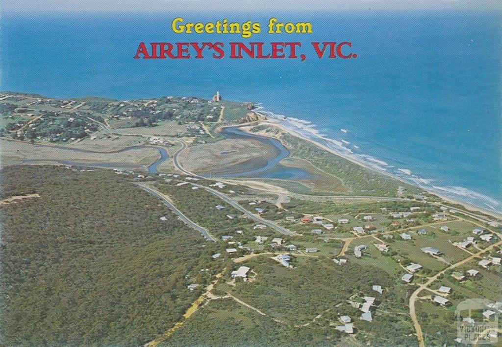
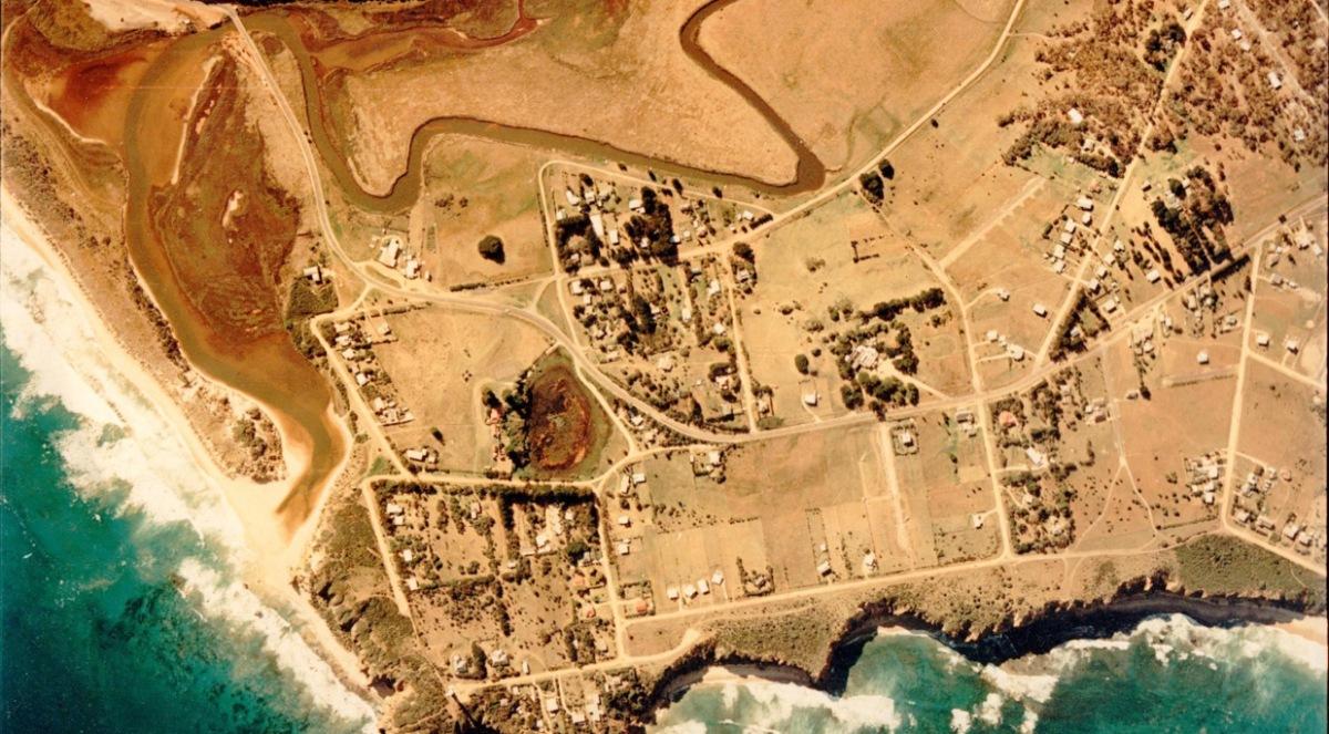
Aerial view of the Painkalac Estuary and Lighthouse
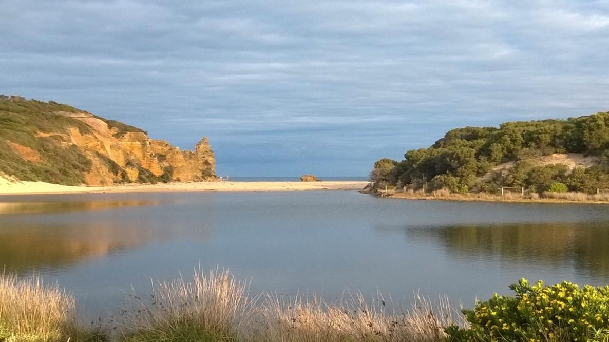
Estuary with berm closing the entrance
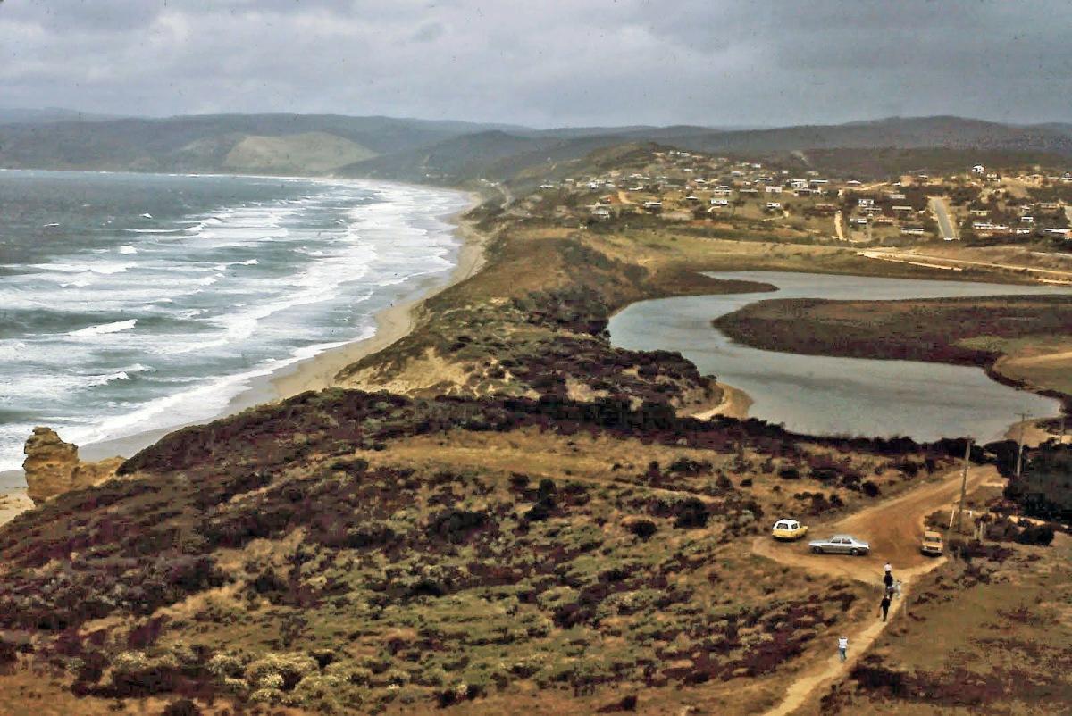
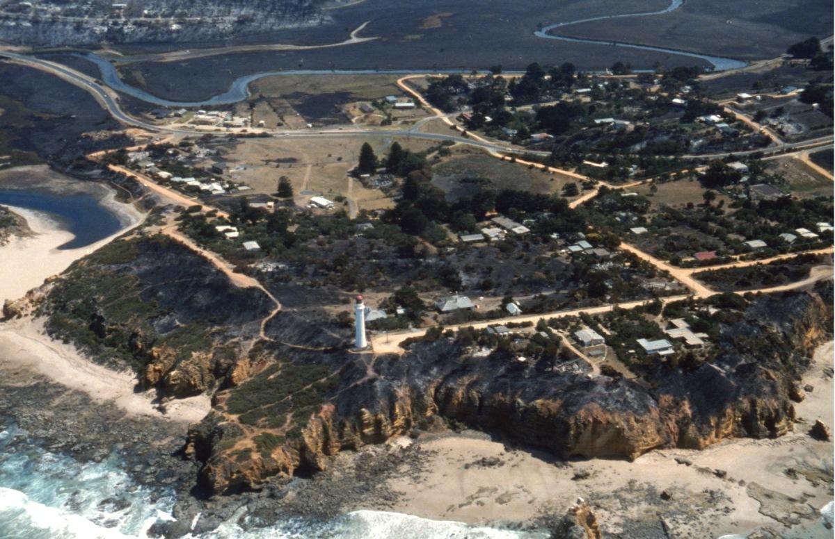
Aerial view of Painkalac Estuary and bottom shops
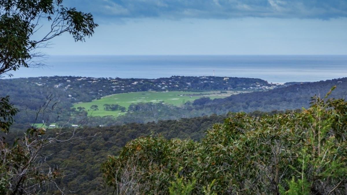
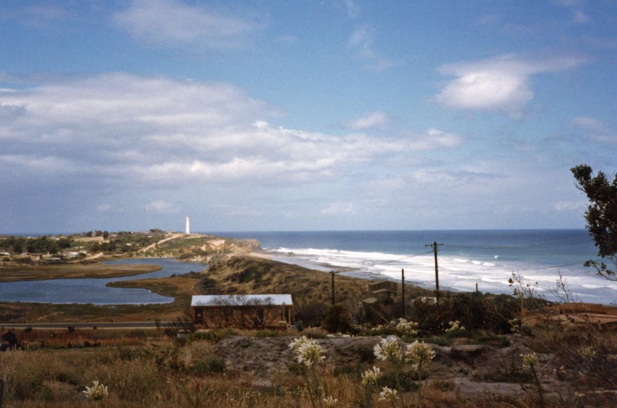
Valley from Curawong Falls walk
Photos – now and then (from Gary Johnson)
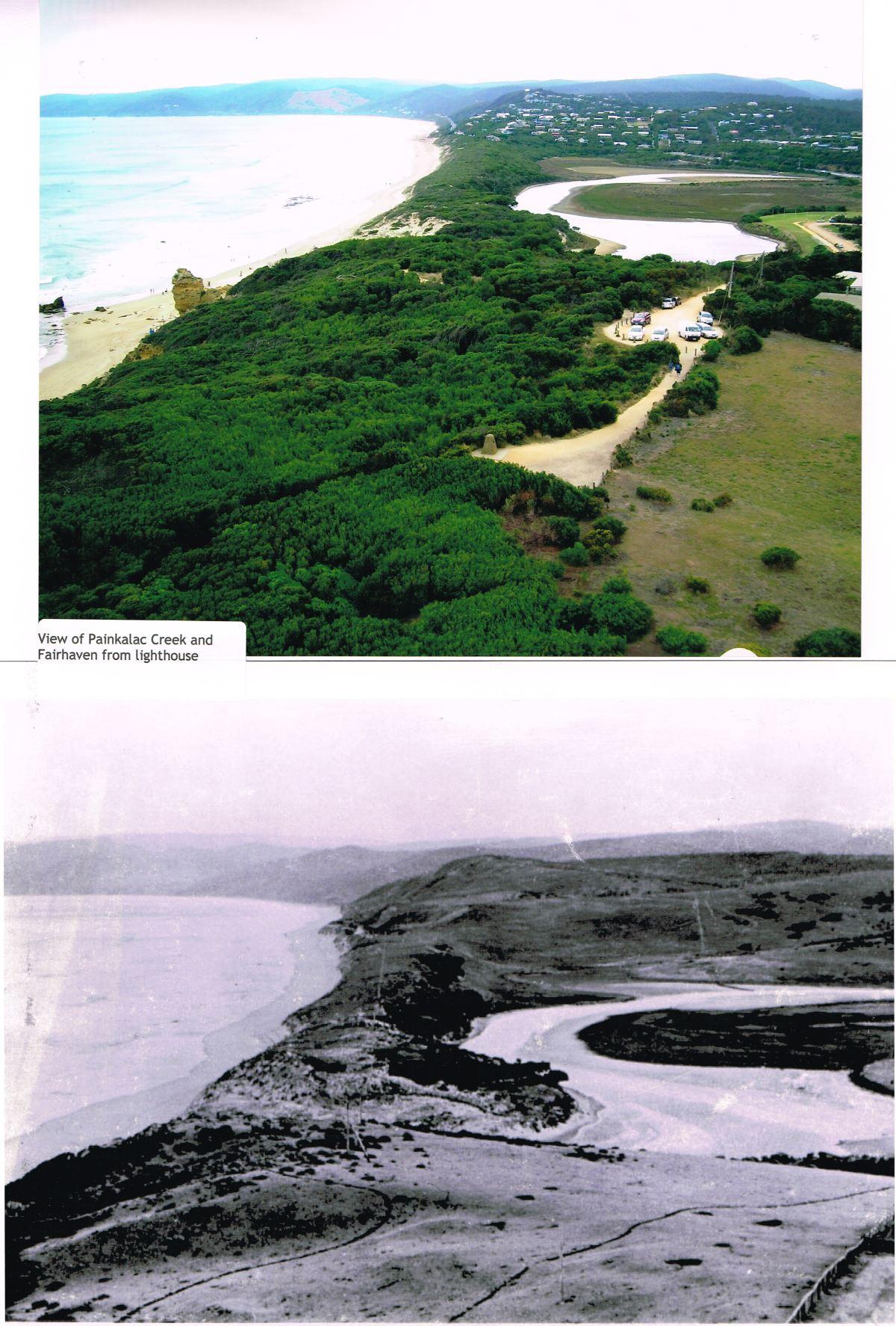
Painkalac Creek from the Lighthouse now and then
View from Lighthouse – 1910 and now
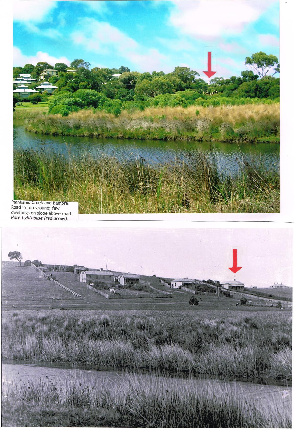
Painkalac Creek view 1890s and now. The arrow shows the Split Point Lighthouse which was constructed in 1891
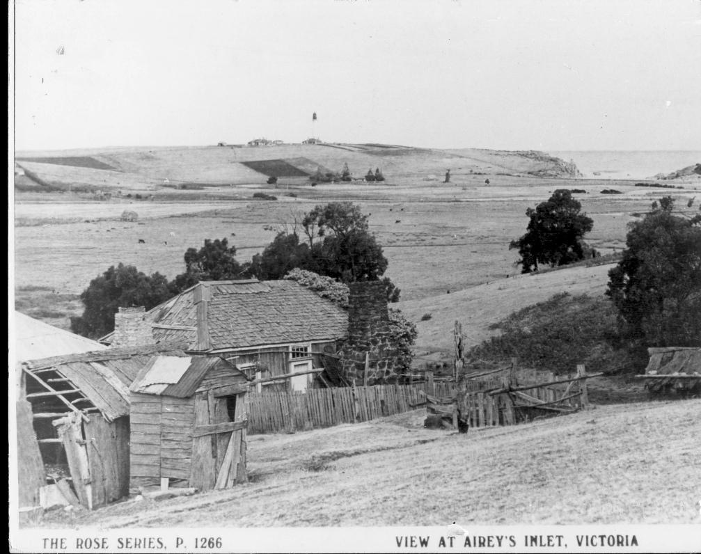
Historical Photos (many from the Anglesea and District Historical Society)
Wybellenna homestead in 1890s (homestead built in 1875)
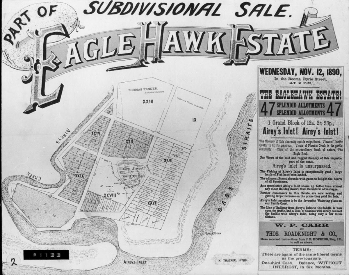
Eagle Hawk Estate subdivision sale notice – first subdivision in Aireys Inlet
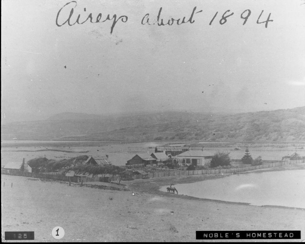
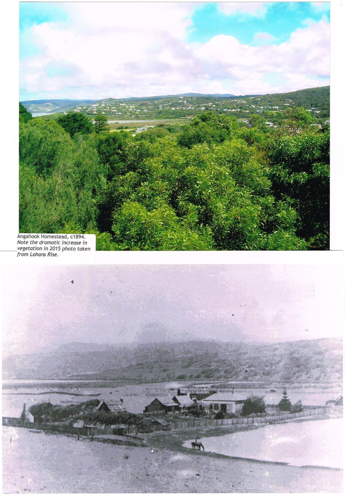
Noble’s Homestead 1894 (the water body is now the Allen Noble Sanctuary)
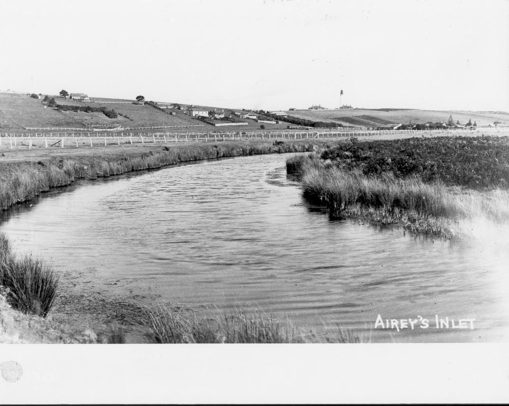
Painkalac Creek 1890s
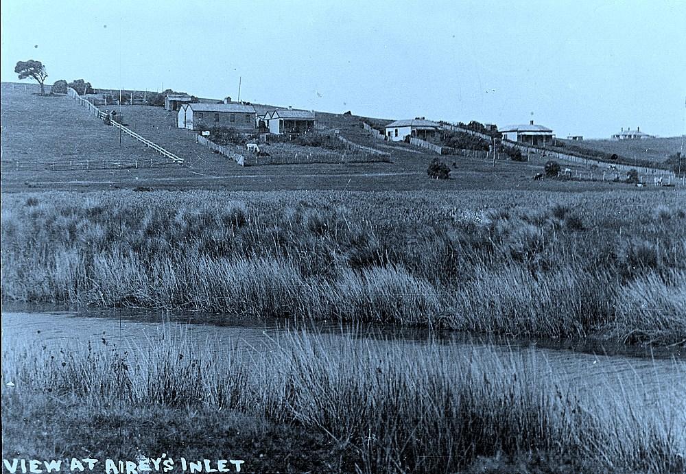
Aireys Inlet in the 1890s
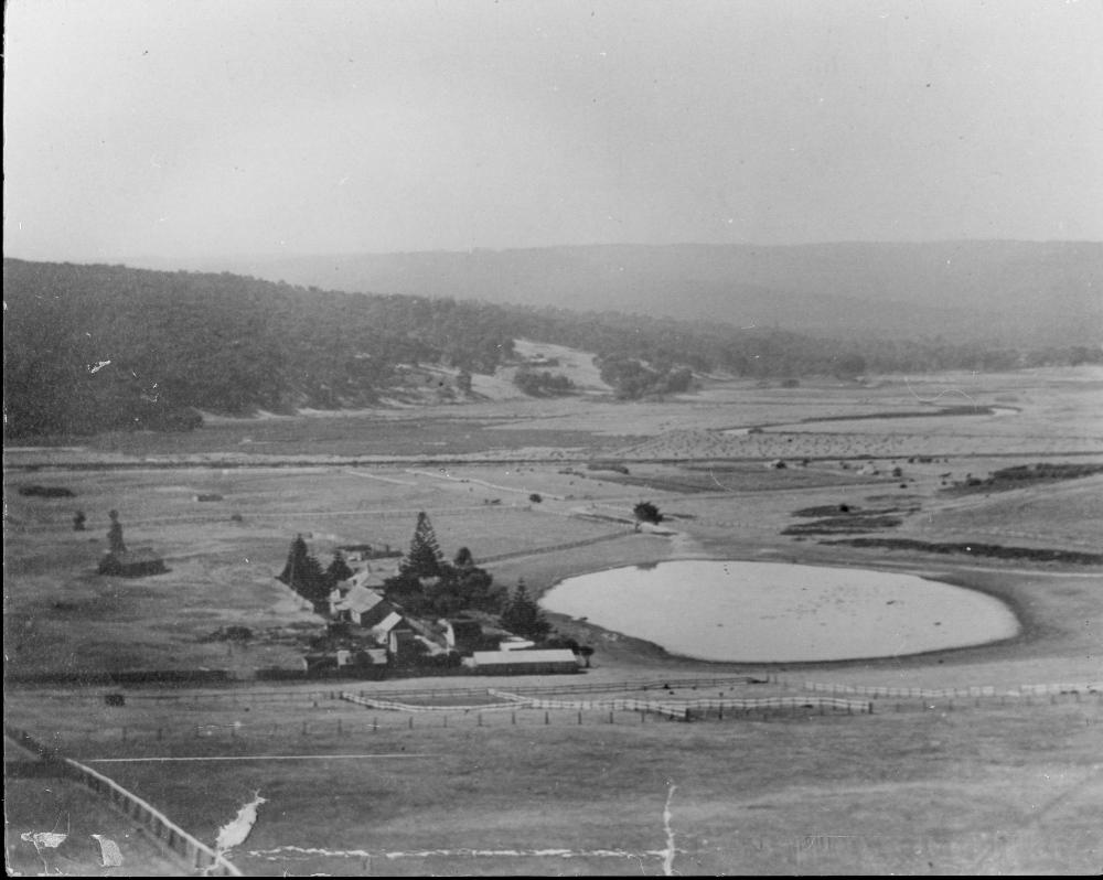
Noble’s home 1910 looking up Valley
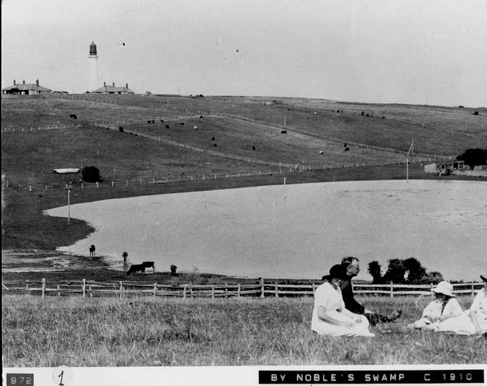
Noble’s swamp 1910 (now Allen Noble Sanctuary)
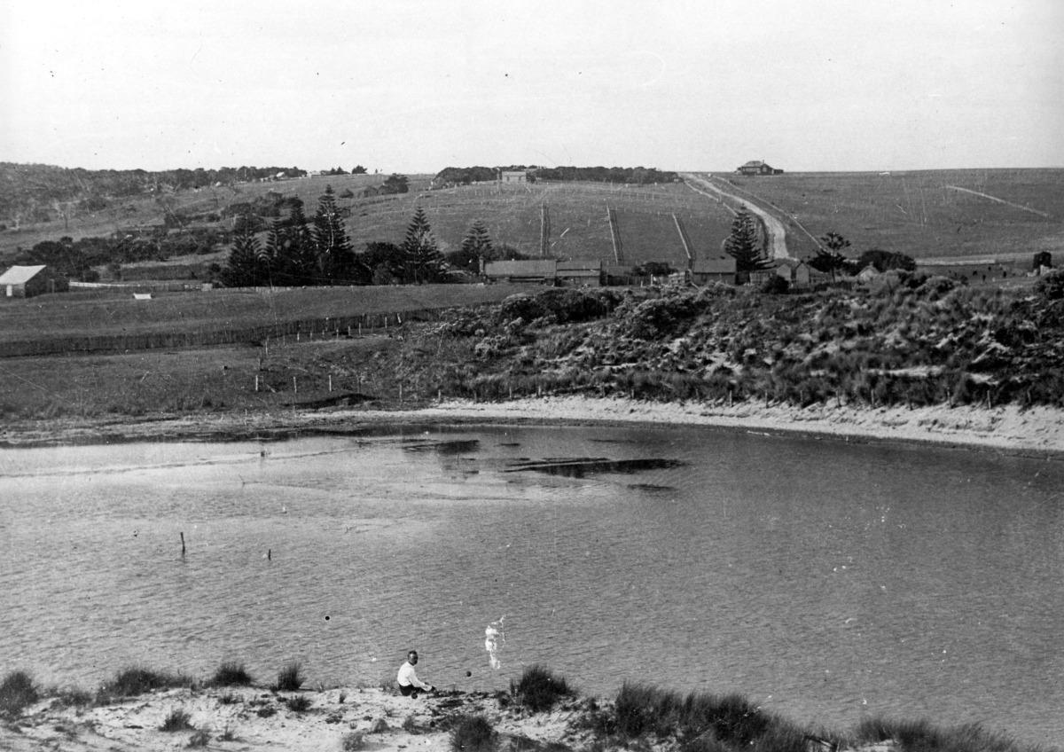
Painkalac Creek 1910s
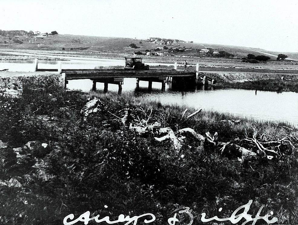
Painkalac Creek bridge 1932 – the first bridge over the Painkalac Creek connecting Aireys Inlet and Fairhaven
Postcard view from Fairhaven to Aireys Inlet 1957
-
Fairhaven from lighthouse in the 1960’s
Aerial view of Aireys Inlet in 1972
Lighthouse from Fairhaven showing damage from Ash Wednesday fires 1983
Aireys Inlet after 1983 Ash Wednesday fires
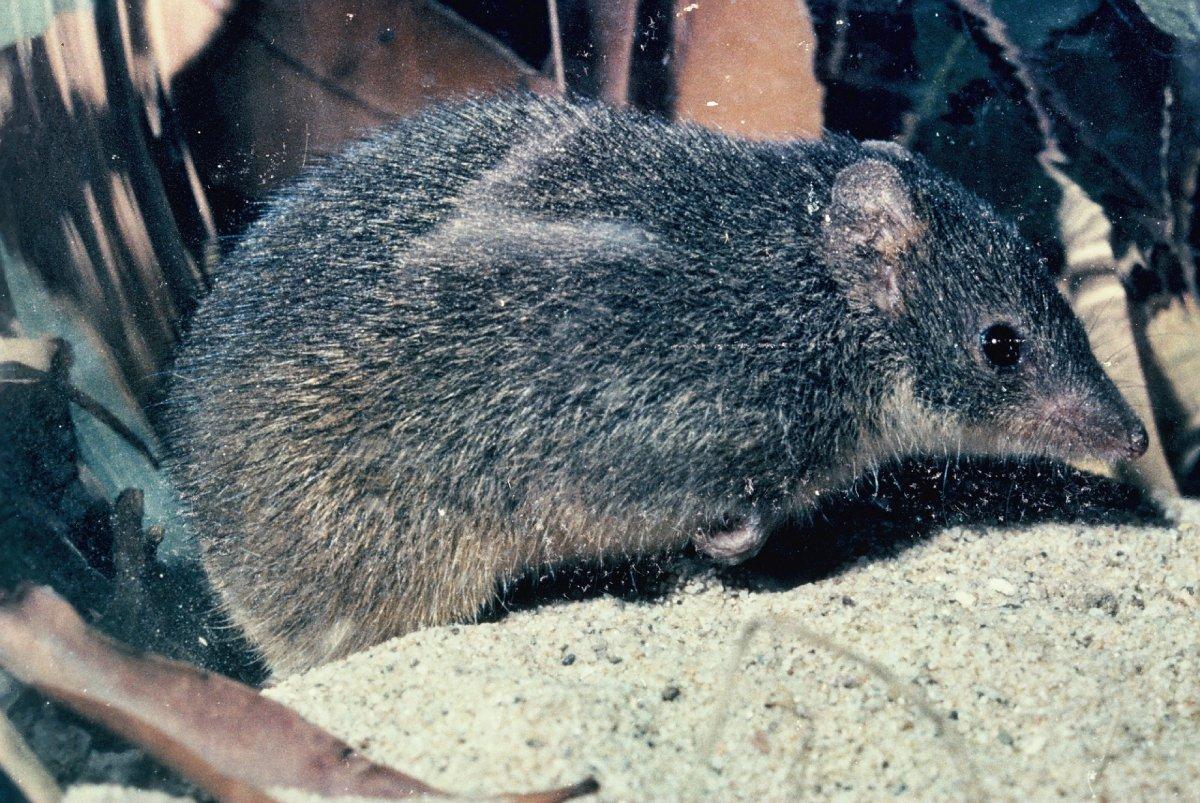
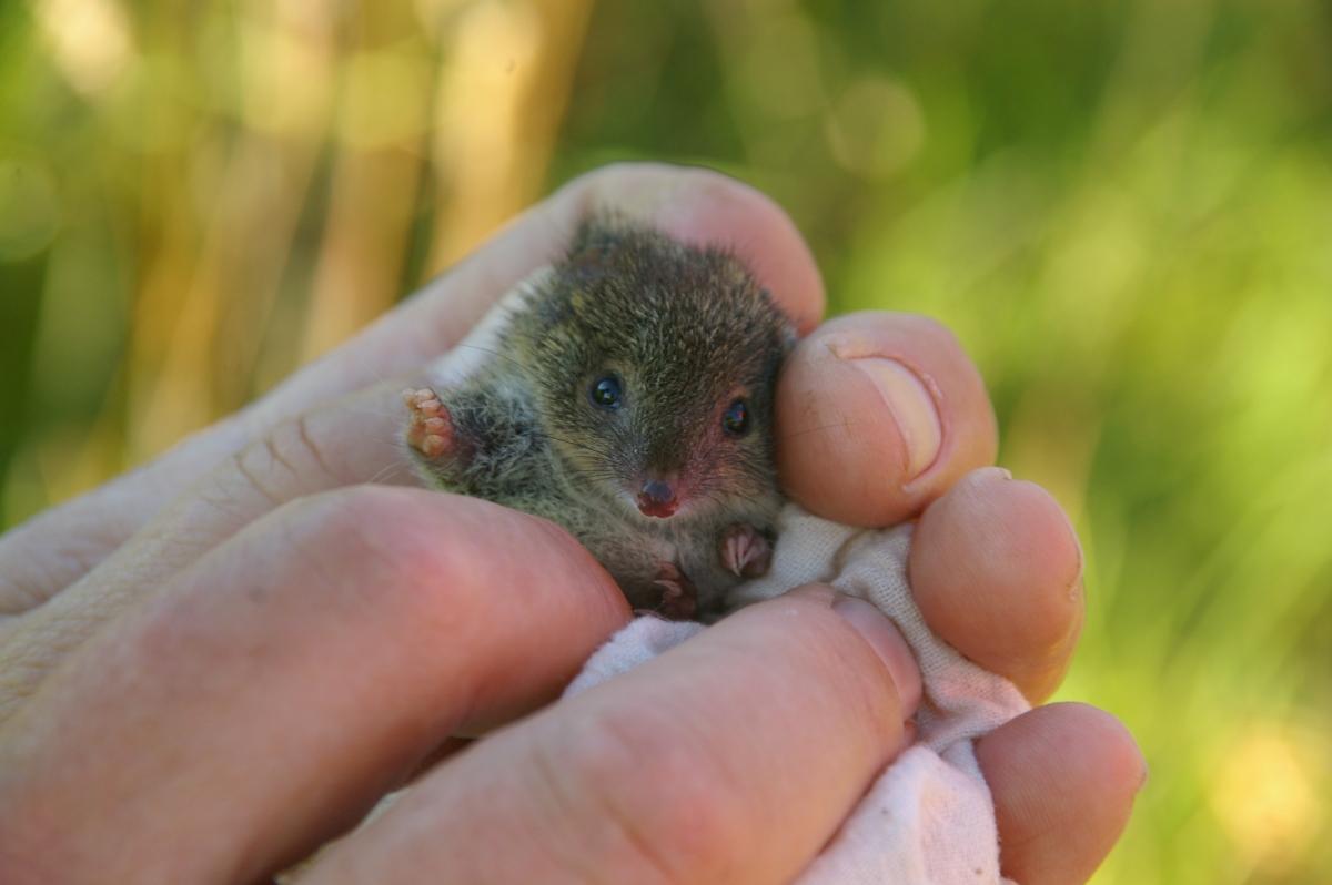
Swamp Antechinus (photos by Barbara Wilson)

The life cycle of Painkalac Creek’s barrier estuary
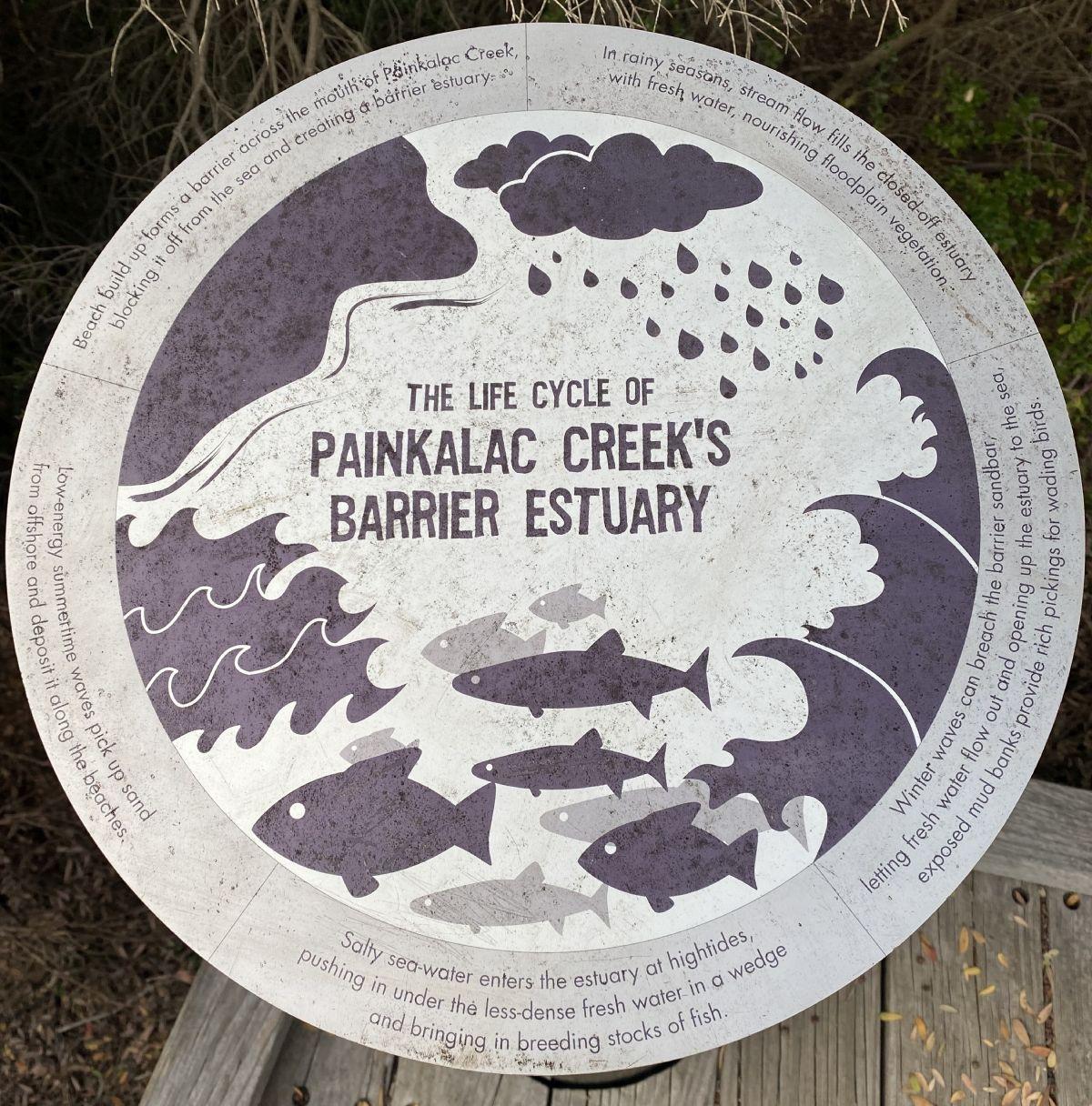
Text of sign:
Low energy summertime waves pick up sand from offshore and deposit along the beaches.
Beach build up forms a barrier across the mouth of Painkalac Creek blocking it off from the sea and creating a barrier estuary.
In rainy seasons, creek flow fills the closed off estuary with fresh water, nourishing floodplain vegetation.
Winter waves can breach the barrier sandbar, letting fresh water folw out and opening up the estuary to the sea, exposed mud banks provide rich pickings for wading birds.
Salty sea water enters the estuary at hightides, pusing in under the less dense fresh water in a wedge and bringing in breeding stocks of fish.
The cycle continues …